
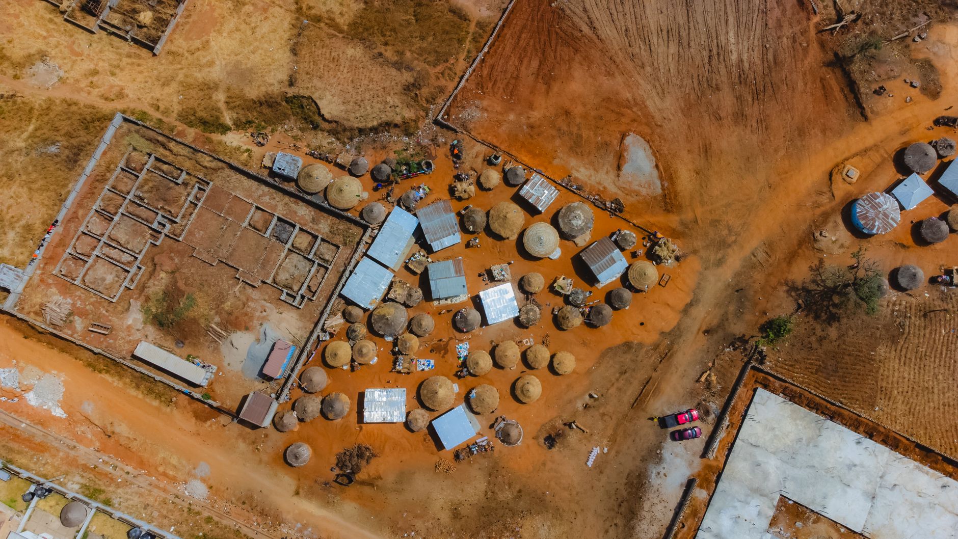
Cluster Satellite Images were successfully captured just 14 hours after launch, showcasing the advanced capabilities of the new Nuri-launched satellite.
What Are Cluster Satellites?
Cluster satellites are a revolutionary advancement in the field of remote sensing and imaging technology. These satellites operate in a coordinated manner, working together to capture high-resolution images of the Earth from multiple angles. By utilizing a network of satellites, they can provide comprehensive coverage and detailed insights that single satellites often cannot achieve.
One of the key benefits of cluster satellites is their ability to enhance data collection efficiency. With multiple satellites operating simultaneously, they can significantly reduce the time required to gather information on large areas. This is particularly useful in various applications such as:
- Agriculture: Monitoring crop health and predicting yields.
- Disaster management: Assessing damage and coordinating response efforts during natural disasters.
- Urban planning: Analyzing land use and infrastructure development.
Recently, the Nuri-launched cluster satellite successfully captured its first images just 14 hours after launch, demonstrating the effectiveness of this technology. The ability of cluster satellite images to provide timely and accurate data is reshaping how organizations approach critical challenges across various sectors. As more advancements are made, the potential for cluster satellites to become the best proven technology in remote sensing continues to grow.
The Significance of First Images
The recent launch of the Nuri rocket has marked a significant milestone in satellite technology, particularly with the deployment of cluster satellites. These satellite systems, designed to work in harmony, have successfully captured their first images just 14 hours post-launch. This rapid achievement underscores the potential of cluster satellite images to transform our understanding of Earth and beyond.
The significance of these initial images cannot be overstated. They serve as a testament to the advanced capabilities of cluster satellites, which can cover larger areas and provide more detailed data than traditional single-satellite systems. The benefits of using multiple satellites include:
- Enhanced Coverage: Cluster satellites can observe different regions simultaneously, allowing for comprehensive monitoring of environmental changes.
- Increased Resolution: By working together, these satellites can produce higher resolution images, crucial for applications in agriculture, urban planning, and disaster management.
- Real-time Data Collection: The coordinated efforts of cluster satellites can lead to faster data gathering, which is vital during emergencies such as natural disasters.
As these technologies evolve, the potential of cluster satellite images to provide critical insights into our planet’s dynamics becomes increasingly apparent, positioning them as a leading solution in modern satellite imaging.
How Nuri Launched the Satellite
The successful launch of the Nuri rocket marked a significant milestone in space technology, particularly in the realm of cluster satellite images. The launch, which took place at the Naro Space Center, demonstrated remarkable precision and efficiency. Nuri, South Korea’s first domestically developed launch vehicle, lifted off at 4:00 PM local time and reached its intended orbit shortly thereafter.
Within just 14 hours of entering orbit, the cluster satellite was able to capture its first images, showcasing its advanced imaging capabilities. This swift accomplishment not only highlights the effectiveness of the technology but also sets a new standard for satellite deployment timelines.
The satellite is designed to operate in a formation with other satellites, enhancing its ability to collect comprehensive data and produce high-resolution images of the Earth. The images taken shortly after launch were crucial for verifying the satellite’s functionality and the quality of the data it can provide.
As experts analyze the first images, the potential applications of the cluster satellite technology become clearer. From environmental monitoring to urban planning, the implications of this launch extend far beyond mere imagery. The success of the Nuri mission signifies a promising future for cluster satellite images, paving the way for further advancements in satellite technology and data collection.
Advancements in Satellite Technology
Recent advancements in satellite technology have paved the way for innovative methods of capturing imagery from space. One of the most notable developments is the integration of cluster satellite images, which enhance our ability to monitor and analyze the Earth’s surface more effectively than ever before.
Cluster satellites operate in tandem, providing a comprehensive view of specific areas. This configuration allows for:
- Improved data accuracy: By utilizing multiple satellites, researchers can triangulate information, leading to more reliable results.
- Enhanced temporal resolution: The ability to capture images from different angles and times offers a more dynamic representation of changing landscapes.
- Broader coverage: Cluster satellites can cover larger geographical areas simultaneously, making them invaluable for monitoring natural disasters, deforestation, and urban development.
As these technologies evolve, the precision and efficiency of cluster satellite images will likely revolutionize fields such as agriculture, environmental science, and urban planning. The initial success seen with the Nuri-launched cluster satellite, capturing its first images just 14 hours after launch, demonstrates the potential of this technology. As more data becomes available, the insights gleaned from these images will undoubtedly enhance our understanding of the planet.
Future of Space Exploration with Cluster Satellites
The future of space exploration is poised for transformation with the advent of cluster satellites. These innovative technologies promise to enhance our understanding of Earth and beyond through their ability to capture detailed satellite images. By deploying multiple satellites in a coordinated manner, researchers can gather a wealth of data that is more comprehensive than ever before.
As cluster satellite images provide unique perspectives, they enable scientists to monitor environmental changes, track natural disasters, and study climate patterns with remarkable accuracy. The ability to capture images from various angles simultaneously enhances the data’s reliability and depth. This capability is particularly critical in a time when climate change poses significant challenges to our planet.
Moreover, cluster satellites are expected to play a vital role in future missions to other celestial bodies. They can facilitate the exploration of planets, moons, and asteroids by delivering high-resolution images that reveal surface compositions and geological features. Such insights could be pivotal in determining the feasibility of future human colonization efforts or resource extraction.
In conclusion, the future of space exploration with cluster satellites is bright. As technology continues to advance, the integration of cluster satellite images will likely lead to breakthroughs that deepen our understanding of the universe and improve life on Earth.
Photo by Mukhtar Shuaib Mukhtar on Pexels
References
Chrome security fixes: 37 Proven Updates to Keep You Safe · Is iPhone 17 Pro the Best New Phone? Here’s the Real Scoop! · OnePlus 16 review: Is it the best phone of 2023?